Randonnée Macchabee et Mare Longue à Maurice
Interactive map
GPS track profile
About this GPS track
Name: Randonnée Macchabee et Mare Longue à Maurice GPS track, route, trail
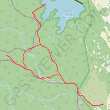
Start: Piste Machabée / Machabée Trail, Vacoas-Phoenix, Plaines Wilhems, Maurice (-20.40821 57.47196)
End: Piste Machabée / Machabée Trail, Vacoas-Phoenix, Plaines Wilhems, Maurice (-20.40834 57.47157)
Coordinates: -20.40872 57.44046 -20.37776 57.47196