Parc Régional des Appalaches - 2ème jour
Interactive map
GPS track profile
About this GPS track
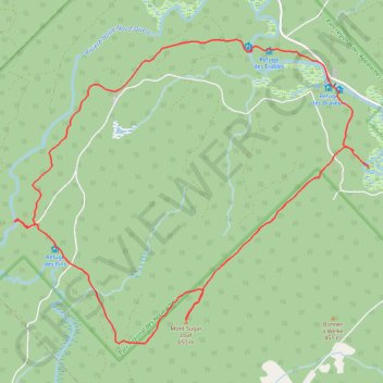
Name: Parc Régional des Appalaches - 2ème jour GPS track, route, trail
Coordinates: 46.74112 -70.12821 46.77235 -70.07506
Other GPS tracks
Click on a GPS track to view route, its statistics and profile.
Parc Régional des Appalaches - 1er jour
Canada > Québec > Montmagny (MRC) > Sainte-Lucie-de-Beauregard
Randonnée entre Sainte-Lucie-de-Beauregard et Saint-Adalbert. #Randonnée
Distance: 6.8 Km • Elevation gain: 65 m • Maximum elevation: 397 m