Roche Miette Canyon
Interactive map
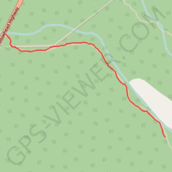
GPS track profile
About this GPS track
Name: Roche Miette Canyon GPS track, route, trail
Start: Roche Miete, Division No. 15, Alberta, Canada (53.18519 -117.96542)
End: Roche Miete, Division No. 15, Alberta, Canada (53.18519 -117.96542)
Coordinates: 53.17914 -117.96542 53.18519 -117.94976
Topography: Division No. 15 topographic map