Upper Thetis Lake Trail - Phelps Trail
Interactive map
GPS track profile
About this GPS track
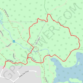
Name: Upper Thetis Lake Trail - Phelps Trail GPS track, route, trail
Coordinates: 48.47108 -123.48926 48.47547 -123.47992
Topography: Langford topographic map
Other GPS tracks
Click on a GPS track to view route, its statistics and profile.
Mount Work - Mount Stewart - Thetis Lake
Canada > British Columbia > Capital Regional District > Highlands
#Hike
Distance: 20.2 Km • Elevation gain: 697 m • Maximum elevation: 436 m