Aberdeen Swamp
Interactive map
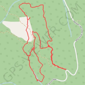
GPS track profile
About this GPS track
Name: Aberdeen Swamp GPS track, route, trail
Coordinates: 50.15615 -119.07980 50.16678 -119.06991
Topography: Area D (Trinity/West Creighton) topographic map
Other GPS tracks
Click on a GPS track to view route, its statistics and profile.
2022 TABG Aberdeen Plateau
Canada > British Columbia > Regional District of North Okanagan > Vernon
Distance: 141.4 Km • Elevation gain: 2,053 m • Maximum elevation: 1,351 m