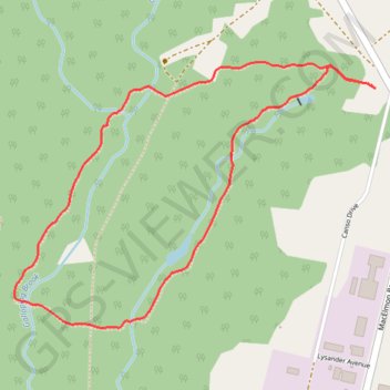
Mi'Kmawey Interpretive Trail
Interactive map
GPS track profile
About this GPS track
Name: Mi'Kmawey Interpretive Trail GPS track, route, trail
Coordinates: 45.40452 -63.44535 45.41413 -63.42676
Topography: Municipality of Colchester topographic map
Other GPS tracks
Click on a GPS track to view route, its statistics and profile.
Amherst - Brookfield
Canada > Nova Scotia > Municipality of the County of Cumberland > Upper Nappan
Distance: 121.3 Km • Elevation gain: 1,019 m • Maximum elevation: 255 m