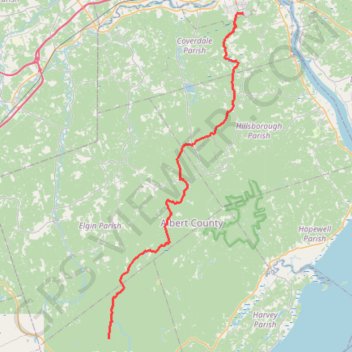
Dobson Hiking Trail - Laverty Falls
Interactive map
GPS track profile
About this GPS track
Name: Dobson Hiking Trail - Laverty Falls GPS track, route, trail
End: Moosehorn, Alma Parish, Albert County, New Brunswick, Canada (45.65755 -65.01463)
Coordinates: 45.65755 -65.01464 46.04217 -64.78676
Topography: Coverdale Parish topographic map
Other GPS tracks
Click on a GPS track to view route, its statistics and profile.
Coles Island - Moncton
Canada > New Brunswick > Johnston Parish
Distance: 90.9 Km • Elevation gain: 587 m • Maximum elevation: 135 m