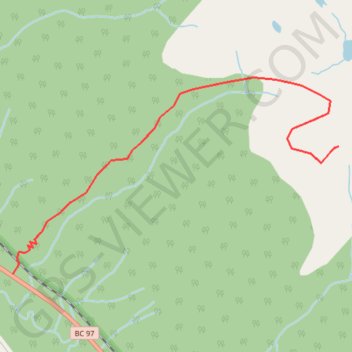
Mount Murray - Pine Pass
Pine Lemoray Provincial Park. #Hike #PineLemoray
- Distance: 8.7 Km
- Elevation gain: 1,121 m
- Maximum elevation: 1,803 m
- Elevation loss: 1,121 m
- Minimum elevation: 792 m
Interactive map
GPS track profile
About this GPS track
Name: Mount Murray - Pine Pass GPS track, route, trail
Coordinates: 55.44817 -122.72397 55.46122 -122.68585
Topography: Area E (Moberly Lake/Sukunka Valley) topographic map