Crater Lakes via South Boulder Creek
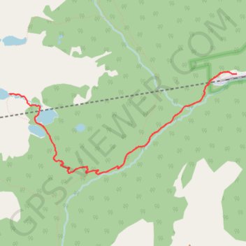
Interactive map
GPS track profile
About this GPS track
Name: Crater Lakes via South Boulder Creek GPS track, route, trail
Coordinates: 39.89008 -105.68180 39.90333 -105.64341
Name: Crater Lakes via South Boulder Creek GPS track, route, trail
Coordinates: 39.89008 -105.68180 39.90333 -105.64341