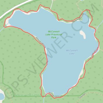
Route
- Distance: 3.2 Km
- Elevation gain: 59 m
- Maximum elevation: 1,312 m
- Elevation loss: 59 m
- Minimum elevation: 1,292 m
Interactive map
GPS track profile
About this GPS track
Name: Route GPS track, route, trail
Coordinates: 50.51801 -120.46667 50.52571 -120.45435
Topography: Area J (Copper Desert Country) topographic map
Other GPS tracks
Click on a GPS track to view route, its statistics and profile.