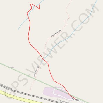
Route
- Distance: 1.3 Km
- Elevation gain: 66 m
- Maximum elevation: 423 m
- Elevation loss: 66 m
- Minimum elevation: 357 m
Interactive map
GPS track profile
About this GPS track
Name: Route GPS track, route, trail
Coordinates: 50.71848 -120.47601 50.72251 -120.47274
Topography: Kamloops topographic map
Other GPS tracks
Click on a GPS track to view route, its statistics and profile.
Cache Creek - Kamloops
Canada > British Columbia > Thompson-Nicola Regional District > Cache Creek
Distance: 86.9 Km • Elevation gain: 1,114 m • Maximum elevation: 736 m