Ammonite Falls
Interactive map
GPS track profile
About this GPS track
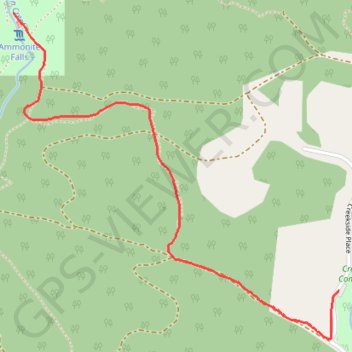
Name: Ammonite Falls GPS track, route, trail
Coordinates: 49.17988 -124.07942 49.19060 -124.06305
Topography: Area C (Arrowsmith-Benson) topographic map
Other GPS tracks
Click on a GPS track to view route, its statistics and profile.
Witchcraft Lake - Benson Creek - Mount Benson
Canada > British Columbia > Regional District of Nanaimo > Area C (Arrowsmith-Benson)
Mount Benson Regional Park. #Hike #Loop #MountBenson
Distance: 14.7 Km • Elevation gain: 851 m • Maximum elevation: 1,006 m