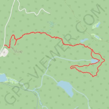
Mont Larose - Nid de l'Aigle - Boucle de la Loutre
Interactive map
GPS track profile
About this GPS track
Name: Mont Larose - Nid de l'Aigle - Boucle de la Loutre GPS track, route, trail
Coordinates: 45.93801 -74.53350 45.95006 -74.49437
Other GPS tracks
Click on a GPS track to view route, its statistics and profile.