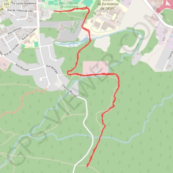
Wood Key Trail
Interactive map
GPS track profile
About this GPS track
Name: Wood Key Trail GPS track, route, trail
Coordinates: 45.46100 -74.29790 45.47640 -74.28897
Topography: Vaudreuil-Soulanges topographic map
Other GPS tracks
Click on a GPS track to view route, its statistics and profile.
East Hawkesbury - Montréal
Canada > Ontario > Prescott and Russell Counties > East Hawkesbury
#Bike #EastHawkesbury #Montréal
Distance: 91.4 Km • Elevation gain: 393 m • Maximum elevation: 91 m