GPS tracks, routes, trails, hikes

GPS tracks visualization and sharing, free and without registration.

Import a GPX file

Cowichan River Footpath Loop

Cowichan River Provincial Park. #Hike #Loop #Cowichan #River #Forest

  • Distance: 5.7 Km
  • Elevation gain: 122 m
  • Maximum elevation: 112 m
  • Elevation loss: 122 m
  • Minimum elevation: 51 m

Interactive map

GPS track profile

About this GPS track

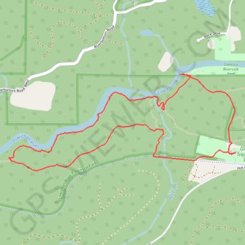
Name: Cowichan River Footpath Loop GPS track, route, trail.
Start: Caretaker's House, Cowichan Valley Trail, Area E (Cowichan Station / Sahtlam / Glenora), Cowichan Valley Regional District, British Columbia, V9L 6S3, Canada (48.75729 -123.79308)
End: Caretaker's House, Cowichan Valley Trail, Area E (Cowichan Station / Sahtlam / Glenora), Cowichan Valley Regional District, British Columbia, V9L 6S3, Canada (48.75729 -123.79308)
Coordinates: 48.75599 -123.81775 48.76292 -123.79308

Other GPS tracks

Bamberton Provincial Park - Nanaimo

Canada > British Columbia > Cowichan Valley Regional District > Area A (Mill Bay / Malahat)

Vancouver Island. #Bike #Bamberton #Nanaimo #Vancouver

Distance: 78.3 Km - Elevation gain: 757 m - Maximum elevation: 116 m - Coordinates: 48.60568 -123.92127 49.13107 -123.52111

Start: Bamberton Provincial Park, Mill Bay Road, Area A (Mill Bay / Malahat), Cowichan Valley Regional District, British Columbia, V0R 2P4, Canada (48.60568 -123.52849)

End: Living Forest Oceanside Campground & RV Park, 6, Maki Road, Chase River, Nanaimo, Regional District of Nanaimo, British Columbia, V9R 6N7, Canada (49.13056 -123.91186)