Lac solitaire
Interactive map
GPS track profile
About this GPS track
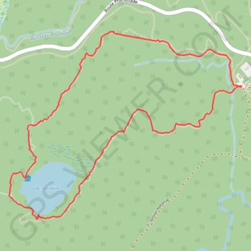
Name: Lac solitaire GPS track, route, trail
Start: Sentier Lac-du-Pimbina, Shawinigan, Mauricie, Québec, Canada (46.75616 -72.81286)
End: Sentier Lac-du-Pimbina, Shawinigan, Mauricie, Québec, Canada (46.75615 -72.81287)
Coordinates: 46.74815 -72.83319 46.75941 -72.81286
Other GPS tracks
Click on a GPS track to view route, its statistics and profile.