29 juill. 2021 12 h 13 min 43 s
- Distance: 81.5 Km
- Elevation gain: 1,254 m
- Maximum elevation: 349 m
- Elevation loss: 1,231 m
- Minimum elevation: 7 m
- Moving time: 3 h 29 m
- Moving speed: 23.4 Km/h
- Maximum speed: 71.9 Km/h
- Total time: 5 h 38 m
- Global speed: 14.4 Km/h
- Date: 2021-07-29
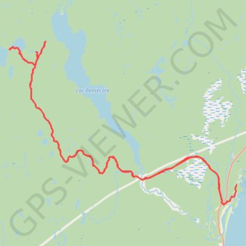
Interactive map
GPS track profile
About this GPS track
Name: 29 juill. 2021 12 h 13 min 43 s GPS track, route, trail
Start: Rue des Pionniers, Port-Cartier, Sept-Rivières, Côte-Nord, Québec, Canada (49.79699 -67.15652)
Coordinates: 49.78044 -67.43920 49.91223 -67.15619