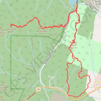
Mount Wells - Flatty Hill - Mount McDonald - John Peak
Interactive map
GPS track profile
About this GPS track
Name: Mount Wells - Flatty Hill - Mount McDonald - John Peak GPS track, route, trail
Coordinates: 48.42370 -123.58070 48.44760 -123.54999
Topography: Langford topographic map
Other GPS tracks
Click on a GPS track to view route, its statistics and profile.
Mount Wells from Humpback Dam
Canada > British Columbia > Capital Regional District > Langford
Mount Wells Regional Park. Vancouver Island. #Hike #MountWells #Vancouver
Distance: 2.7 Km • Elevation gain: 219 m • Maximum elevation: 337 m