GPS tracks, routes, trails, hikes

GPS tracks visualization and sharing, free and without registration.

Import a GPX file

Edmonton

North Saskatchewan River. #Bike #Loop

  • Distance: 12.1 Km
  • Elevation gain: 208 m
  • Maximum elevation: 692 m
  • Elevation loss: 207 m
  • Minimum elevation: 618 m

Interactive map

GPS track profile

About this GPS track

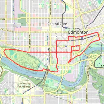
Name: Edmonton GPS track, route, trail.
Start: 9658, 102A Avenue NW, Boyle Street, Central Core, Avenue District, Edmonton, Edmonton (city), Alberta, T5J 0L6, Canada (53.54503 -113.48587)
End: 9666, 102A Avenue NW, Boyle Street, Central Core, Avenue District, Edmonton, Edmonton (city), Alberta, T5J 0L6, Canada (53.54500 -113.48622)
Coordinates: 53.53158 -113.53720 53.54618 -113.47778