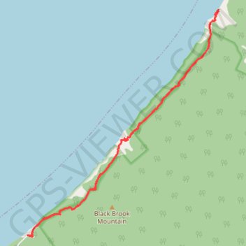
Cape Breton Island - Pollets Cove
Gulf of Saint Lawrence. #Hike #CapeBreton #SaintLawrence #Atlantic
- Distance: 13.9 Km
- Elevation gain: 876 m
- Maximum elevation: 213 m
- Elevation loss: 875 m
- Minimum elevation: 0 m
Interactive map
GPS track profile
About this GPS track
Name: Cape Breton Island - Pollets Cove GPS track, route, trail
Coordinates: 46.87289 -60.74307 46.91432 -60.69208
Topography: Municipality of the County of Inverness topographic map