Import a GPX file

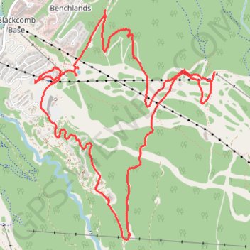
Whistler - Blackcomb Mountain

#Hike #Loop #Whistler #Blackcomb

  • Distance: 9.1 Km
  • Elevation gain: 436 m
  • Maximum elevation: 1,142 m
  • Elevation loss: 434 m
  • Minimum elevation: 760 m

Interactive map

GPS track profile

About this GPS track

Other GPS tracks

Click on a GPS track to view route, its statistics and profile.

Cheakamus River and Lillooet River

Canada > British Columbia > Squamish-Lillooet Regional District > Area D (Elaho/Garibaldi)

Bikepack from Daisy Lake along Cheakamus River and Lillooet River via Alta Lake, Whistler, Green Lake, Shadow Lake, Nairn Falls, One Mile Lake and Pemberton. #Bike #Nature #River #Lake #Mountain #Forest

Distance: 84.6 Km • Elevation gain: 1,233 m • Maximum elevation: 754 m

Vancouver - Golden

Canada > British Columbia > Metro Vancouver Regional District > Vancouver

#Bike #Vancouver #Golden

Distance: 827.6 Km • Elevation gain: 9,376 m • Maximum elevation: 1,347 m