Yellowknife - Frame Lake
Interactive map
GPS track profile
About this GPS track
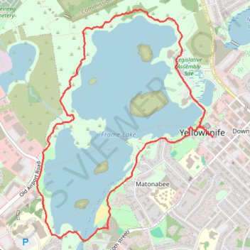
Name: Yellowknife - Frame Lake GPS track, route, trail
Coordinates: 62.44662 -114.40202 62.46259 -114.37579
Topography: Yellowknife topographic map
Name: Yellowknife - Frame Lake GPS track, route, trail
Coordinates: 62.44662 -114.40202 62.46259 -114.37579
Topography: Yellowknife topographic map