Osoyoos - Midway
Interactive map
GPS track profile
About this GPS track
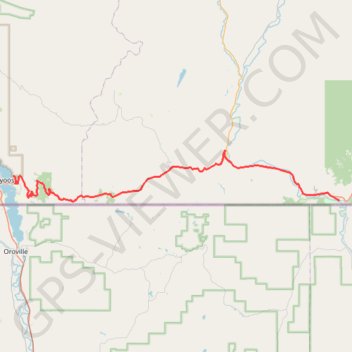
Name: Osoyoos - Midway GPS track, route, trail
Coordinates: 49.00427 -119.44094 49.07205 -118.77602
Topography: Regional District of Okanagan-Similkameen topographic map
Other GPS tracks
Click on a GPS track to view route, its statistics and profile.
Départ - Alberta
Canada > Colombie-Britannique > District régional du Grand Vancouver > Vancouver
Distance: 2,596.8 Km • Elevation gain: 17,360 m • Maximum elevation: 2,042 m