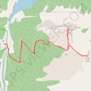
Ha Ling Peak - Miner's Peak
Interactive map
GPS track profile
About this GPS track
Name: Ha Ling Peak - Miner's Peak GPS track, route, trail
Coordinates: 51.05815 -115.41850 51.06434 -115.39424
Topography: Kananaskis Improvement District topographic map
Other GPS tracks
Click on a GPS track to view route, its statistics and profile.