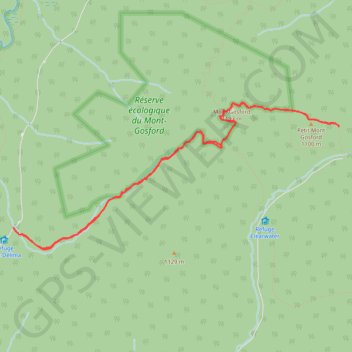
Mont Gosford - Petit Mont Gosford
Interactive map
GPS track profile
About this GPS track
Name: Mont Gosford - Petit Mont Gosford GPS track, route, trail
Start: Sentier Frontalier, Saint-Augustin-de-Woburn, Le Granit, Estrie, Quebec, Canada (45.28872 -70.89954)
End: Sentier Frontalier, Saint-Augustin-de-Woburn, Le Granit, Estrie, Quebec, Canada (45.28846 -70.89927)
Coordinates: 45.28644 -70.89954 45.30200 -70.85074
Topography: Le Granit topographic map