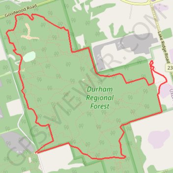
Durham Regional Forest - Uxbridge Trail
Interactive map
GPS track profile
About this GPS track
Name: Durham Regional Forest - Uxbridge Trail GPS track, route, trail
Coordinates: 44.03874 -79.09474 44.05765 -79.06575
Topography: Durham Region topographic map
Other GPS tracks
Click on a GPS track to view route, its statistics and profile.