GPS tracks, routes, trails, hikes

GPS tracks visualization and sharing, free and without registration.

Import a GPX file

Roche Bonhomme

Jasper National Park. #Hike #Jasper

  • Distance: 10.5 Km
  • Elevation gain: 1,322 m
  • Maximum elevation: 2,455 m
  • Elevation loss: 1,326 m
  • Minimum elevation: 1,152 m

Interactive map

GPS track profile

About this GPS track

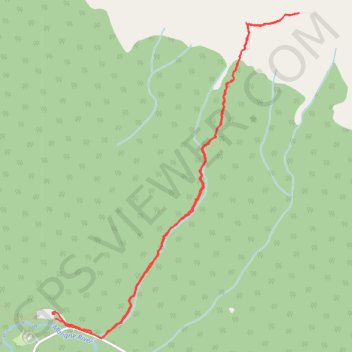
Name: Roche Bonhomme GPS track, route, trail.
Start: Municipality of Jasper, Alberta, Canada (52.92104 -117.99806)
End: Maligne Canyon Wilderness Kitchen, Maligne Lake Road, Municipality of Jasper, Alberta, T0E 1E0, Canada (52.92046 -117.99812)
Coordinates: 52.91878 -117.99853 52.94690 -117.96314