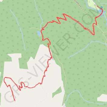
Illecillewaet Campground - Abbott Ridge Trail
Interactive map
GPS track profile
About this GPS track
Name: Illecillewaet Campground - Abbott Ridge Trail GPS track, route, trail
Coordinates: 51.24810 -117.51802 51.26414 -117.49147
Topography: Area B (Shelter Bay/Mica Creek) topographic map
Other GPS tracks
Click on a GPS track to view route, its statistics and profile.