Banff National Park - Lake Louise
Interactive map
GPS track profile
About this GPS track
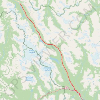
Name: Banff National Park - Lake Louise GPS track, route, trail
Coordinates: 51.41676 -116.62287 51.84378 -116.17322
Topography: Division No. 15 topographic map
Other GPS tracks
Click on a GPS track to view route, its statistics and profile.
Bow Lake - Glacier Falls
Canada > Alberta > Division No. 15
Distance: 6.8 Km • Elevation gain: 124 m • Maximum elevation: 2,012 m
Bow Lake - Glacier Falls
Canada > Alberta > Division No. 15
Distance: 6.8 Km • Elevation gain: 124 m • Maximum elevation: 2,012 m