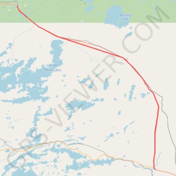
Upsala - Shebandowan
- Distance: 75.7 Km
- Elevation gain: 388 m
- Maximum elevation: 506 m
- Elevation loss: 470 m
- Minimum elevation: 381 m
Interactive map
GPS track profile
About this GPS track
Name: Upsala - Shebandowan GPS track, route, trail
Coordinates: 48.59355 -90.47068 49.04361 -89.87690
Topography: Unorganized Thunder Bay District topographic map