GPS tracks, routes, trails, hikes

GPS tracks visualization and sharing, free and without registration.

Import a GPX file

Moosomin - Virden

#Bike #Moosomin #Virden

  • Distance: 68.7 Km
  • Elevation gain: 45 m
  • Maximum elevation: 577 m
  • Elevation loss: 173 m
  • Minimum elevation: 442 m

Interactive map

GPS track profile

About this GPS track

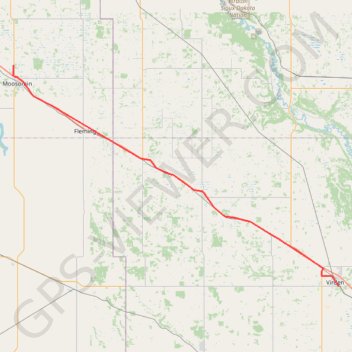
Name: Moosomin - Virden GPS track, route, trail.
Start: Moosomin No. 121, Saskatchewan, S0G 3N0, Canada (50.17088 -101.67595)
End: Virden Collegiate Institute, Government Road South, Virden, Rural Municipality of Wallace-Woodworth, Manitoba, R0M 2C0, Canada (49.84253 -100.92445)
Coordinates: 49.84253 -101.67785 50.17088 -100.92359

Other GPS tracks

Virden - Brandon

Canada > Manitoba > Rural Municipality of Wallace-Woodworth > Virden

#Bike #Virden #Brandon

Distance: 79.7 Km - Elevation gain: 143 m - Maximum elevation: 445 m - Coordinates: 49.76886 -100.93331 49.88747 -99.95569

Start: Virden Collegiate Institute, Government Road South, Virden, Rural Municipality of Wallace-Woodworth, Manitoba, R0M 2C0, Canada (49.84253 -100.92484)

End: Meadowlark Trailer Court, Brandon, Manitoba, R7C 1A7, Canada (49.88747 -99.95569)

Whitewood - Moosomin

Canada > Saskatchewan > Whitewood > Whitewood

#Bike #Whitewood #Moosomin

Distance: 50.0 Km - Elevation gain: 45 m - Maximum elevation: 602 m - Coordinates: 50.15611 -102.26686 50.33682 -101.67573

Start: Archie's Place, Lalonde Street, Whitewood, Saskatchewan, S0G 5C0, Canada (50.33487 -102.26686)

End: Moosomin No. 121, Saskatchewan, S0G 3N0, Canada (50.17088 -101.67573)