Spragge - Espanola
Interactive map
GPS track profile
About this GPS track
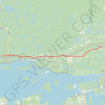
Name: Spragge - Espanola GPS track, route, trail
Coordinates: 46.19256 -82.60102 46.26477 -81.76436
Topography: The North Shore Township topographic map
Other GPS tracks
Click on a GPS track to view route, its statistics and profile.
Espanola - South Baymouth
Canada > Ontario > Sudbury District > Espanola
Manitoulin Island. #Bike #Espanola #SouthBaymouth #Manitoulin
Distance: 106.5 Km • Elevation gain: 715 m • Maximum elevation: 272 m