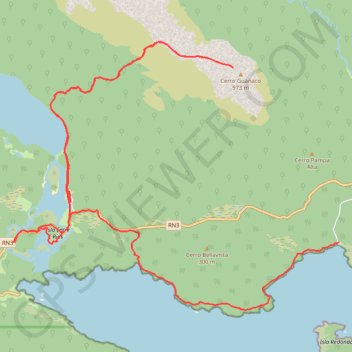
USHUAIA - Costera Trail et Cerro Guanaco
- Distance: 26.4 Km
- Elevation gain: 1,223 m
- Maximum elevation: 944 m
- Elevation loss: 1,221 m
- Minimum elevation: 1 m
- Moving time: 9 h 2 m
- Moving speed: 2.9 Km/h
- Maximum speed: 37.3 Km/h
- Total time: 1 d 3 h
- Global speed: 1.0 Km/h
- Date: 2015-12-22
Interactive map
GPS track profile
About this GPS track
Name: USHUAIA - Costera Trail et Cerro Guanaco GPS track, route, trail
Start: Senda Costera, Departamento Ushuaia, Province de Terre de Feu, Argentine (-54.84641 -68.48110)
Coordinates: -54.85801 -68.57841 -54.81182 -68.48107