Sentier observatoire
Interactive map
GPS track profile
About this GPS track
Name: Sentier observatoire GPS track, route, trail
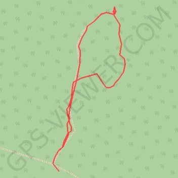
Start: Sentier de l'Anse à Moreau, Baie-Comeau, Manicouagan, Côte-Nord, Québec, Canada (49.27656 -68.06067)
End: Sentier de l'Anse à Moreau, Baie-Comeau, Manicouagan, Côte-Nord, Québec, Canada (49.27693 -68.06064)
Coordinates: 49.27656 -68.06084 49.27938 -68.05894
Other GPS tracks
Click on a GPS track to view route, its statistics and profile.
Trail anse à moreau
Canada > Québec > Manicouagan > Baie-Comeau
Trail. #Trail
Distance: 5.6 Km • Elevation gain: 114 m • Maximum elevation: 212 m
Trail anse à moreau
Canada > Québec > Manicouagan > Baie-Comeau
Distance: 5.6 Km • Elevation gain: 110 m • Maximum elevation: 212 m