Eagleridge Bluffs - Cabin Lake - Black Mountain
Interactive map
GPS track profile
About this GPS track
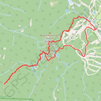
Name: Eagleridge Bluffs - Cabin Lake - Black Mountain GPS track, route, trail
Coordinates: 49.38275 -123.23436 49.39790 -123.20242
Topography: West Vancouver topographic map
Other GPS tracks
Click on a GPS track to view route, its statistics and profile.
Saint Marks Summit
Canada > British Columbia > Metro Vancouver Regional District > West Vancouver
Cypress Provincial Park. #Hike #SaintMarks #Cypress
Distance: 12.1 Km • Elevation gain: 807 m • Maximum elevation: 1,335 m