Wild Rose Loop
Interactive map
GPS track profile
About this GPS track
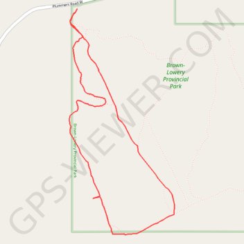
Name: Wild Rose Loop GPS track, route, trail
Start: Plummers Road W, Foothills County, Alberta, T0L 1W0, Canada (50.82036 -114.43948)
End: Plummers Road W, Foothills County, Alberta, T0L 1W0, Canada (50.82036 -114.43948)
Coordinates: 50.80476 -114.44033 50.82036 -114.42883
Topography: Foothills County topographic map, elevation, terrain