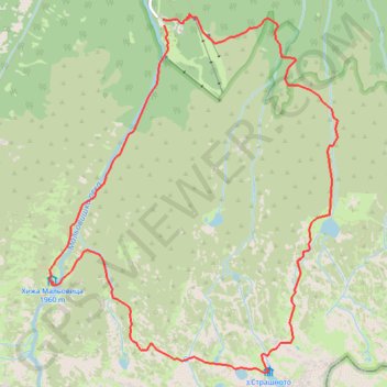
Maliovitsa - Scary Lake - Yonchevo Lake - Maliovitsa
- Distance: 12.1 Km
- Elevation gain: 850 m
- Maximum elevation: 2,461 m
- Elevation loss: 851 m
- Minimum elevation: 1,705 m
- Moving time: 4 h 16 m
- Moving speed: 2.8 Km/h
- Maximum speed: 8.6 Km/h
- Total time: 8 h 30 m
- Global speed: 1.4 Km/h
- Date: 2017-06-27
Interactive map
GPS track profile
About this GPS track
Name: Maliovitsa - Scary Lake - Yonchevo Lake - Maliovitsa GPS track, route, trail
Start: Samokov-CPSh Maliovitza, Samokov, Sofia, Bulgaria (42.21089 23.38747)
End: Samokov-CPSh Maliovitza, Samokov, Sofia, Bulgaria (42.21143 23.38731)
Coordinates: 42.18072 23.37401 42.21186 23.40783