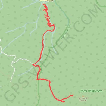
The Priest via Crabtree Falls
Hike from Crabtree Falls to The Priest via Crabtree Falls Trail, Shoe Creek Trail, Appalachian Trail and The Priest Shelter in the Priest Wilderness and the George Washington National Forest. #Hike #Mountain #Falls #Nature #Forest #River #Wilderness
- Distance: 15.3 Km
- Elevation gain: 900 m
- Maximum elevation: 1,223 m
- Elevation loss: 903 m
- Minimum elevation: 503 m
- Moving time: 4 h 1 m
- Moving speed: 3.8 Km/h
- Maximum speed: 6.6 Km/h
- Total time: 4 h 52 m
- Global speed: 3.1 Km/h
- Date: 2020-08-30
Interactive map
GPS track profile
About this GPS track
Name: The Priest via Crabtree Falls GPS track, route, trail
Start: Crabtree Falls Trail, Nelson County, Virginia, 24464, United States (37.85071 -79.07883)
End: Crabtree Falls Trail, Nelson County, Virginia, 24464, United States (37.85080 -79.07914)
Coordinates: 37.81782 -79.08390 37.85096 -79.06655