North Bay - Mattawa
Interactive map
GPS track profile
About this GPS track
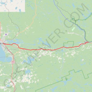
Name: North Bay - Mattawa GPS track, route, trail
Coordinates: 46.26754 -79.43899 46.31842 -78.69056
Topography: North Bay topographic map
Other GPS tracks
Click on a GPS track to view route, its statistics and profile.
Mattawa - Stonecliffe
Canada > Ontario > Nipissing District > Mattawa
Distance: 73.7 Km • Elevation gain: 903 m • Maximum elevation: 318 m