Shoshone Point
Interactive map
GPS track profile
About this GPS track
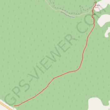
Name: Shoshone Point GPS track, route, trail
Start: East Rim Drive, Coconino County, Arizona, United States (36.03539 -112.06911)
End: Shoshone Point Trail, Coconino County, Arizona, United States (36.04556 -112.05901)
Coordinates: 36.03539 -112.06911 36.04556 -112.05901