Oak Hill Community Park & Forest Multi-Use Trails
Interactive map
GPS track profile
About this GPS track
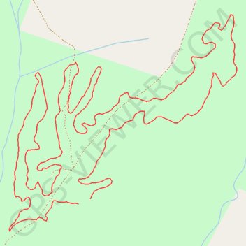
Name: Oak Hill Community Park & Forest Multi-Use Trails GPS track, route, trail
Start: Burke County, North Carolina, 28628, United States (35.75765 -81.74791)
End: Burke County, North Carolina, 28628, United States (35.75753 -81.74828)
Coordinates: 35.75685 -81.75039 35.76221 -81.74346