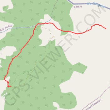
Ecu_03_Nariz_del_Diablo
- Distance: 12.0 Km
- Elevation gain: 804 m
- Maximum elevation: 3,891 m
- Elevation loss: 804 m
- Minimum elevation: 3,312 m
Interactive map
GPS track profile
About this GPS track
Name: Ecu_03_Nariz_del_Diablo GPS track, route, trail
Coordinates: 0.58908 -77.70718 0.60961 -77.67452
Other GPS tracks
Click on a GPS track to view route, its statistics and profile.
Pasto-Quito
Colombie > Nariño > Pasto > Perímetro Urbano Pasto
Vélo. En aller simple entre Pasto et Quito. #Vélo
Distance: 363.3 Km • Elevation gain: 8,943 m • Maximum elevation: 3,308 m