Amherst Point Bird Sanctuary
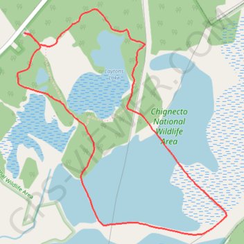
Interactive map
GPS track profile
About this GPS track
Name: Amherst Point Bird Sanctuary GPS track, route, trail
Coordinates: 45.78627 -64.26072 45.79842 -64.24460
Topography: Municipality of the County of Cumberland topographic map