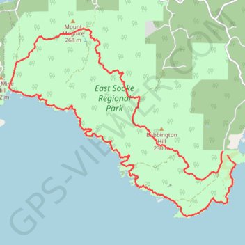
East Sooke Regional Park
Interactive map
GPS track profile
About this GPS track
Name: East Sooke Regional Park GPS track, route, trail
Coordinates: 48.31399 -123.70488 48.35224 -123.63553
Topography: Juan de Fuca Electoral Area topographic map
Other GPS tracks
Click on a GPS track to view route, its statistics and profile.