Lac du Bois Grasslands Protected Area
Interactive map
GPS track profile
About this GPS track
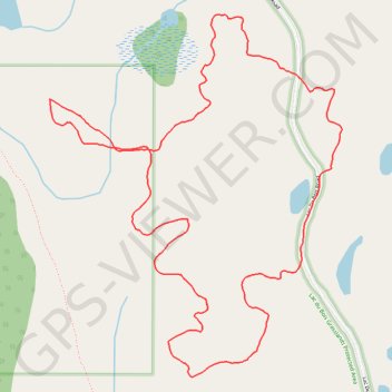
Name: Lac du Bois Grasslands Protected Area GPS track, route, trail
Coordinates: 50.77185 -120.44225 50.78047 -120.43126
Topography: Area J (Copper Desert Country) topographic map
Other GPS tracks
Click on a GPS track to view route, its statistics and profile.
Cache Creek - Kamloops
Canada > British Columbia > Thompson-Nicola Regional District > Cache Creek
Distance: 86.9 Km • Elevation gain: 1,114 m • Maximum elevation: 736 m