Sugarloaf Mountain
Interactive map
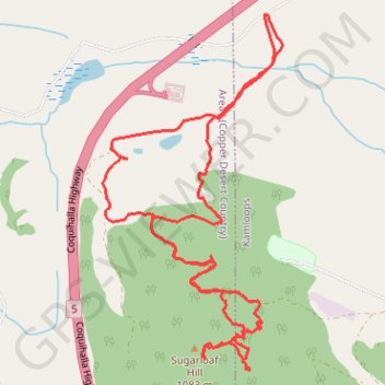
GPS track profile
About this GPS track
Name: Sugarloaf Mountain GPS track, route, trail
Coordinates: 50.63898 -120.48386 50.65762 -120.46907
Topography: Kamloops topographic map
Other GPS tracks
Click on a GPS track to view route, its statistics and profile.
Cache Creek - Kamloops
Canada > British Columbia > Thompson-Nicola Regional District > Cache Creek
Distance: 86.9 Km • Elevation gain: 1,114 m • Maximum elevation: 736 m