Bane Canyon Loop
Interactive map
GPS track profile
About this GPS track
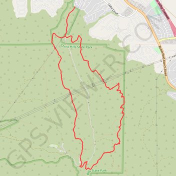
Name: Bane Canyon Loop GPS track, route, trail
Coordinates: 33.91826 -117.70869 33.95468 -117.68918
Name: Bane Canyon Loop GPS track, route, trail
Coordinates: 33.91826 -117.70869 33.95468 -117.68918