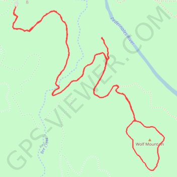
Pedernales Falls Wolf Mountain Loop
Loop hike on Wolf Mountain via Wolf Mountain Trail in the Pedernales Falls State Park. #Hike #Loop #Nature #Forest #Mountain #Park
- Distance: 9.4 Km
- Elevation gain: 125 m
- Maximum elevation: 327 m
- Elevation loss: 125 m
- Minimum elevation: 278 m
- Moving time: 2 h 22 m
- Moving speed: 4.0 Km/h
- Maximum speed: 7.0 Km/h
- Total time: 2 h 34 m
- Global speed: 3.6 Km/h
- Date: 2024-01-01
Interactive map
GPS track profile
About this GPS track
Name: Pedernales Falls Wolf Mountain Loop GPS track, route, trail
Start: Wolf Mountain Trail, Blanco County, Texas, United States (30.30727 -98.25563)
End: Wolf Mountain Trail, Blanco County, Texas, United States (30.30721 -98.25561)
Coordinates: 30.29236 -98.25591 30.30727 -98.23996