Showh Lakes
Interactive map
GPS track profile
About this GPS track
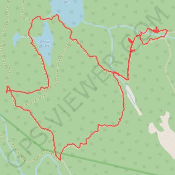
Name: Showh Lakes GPS track, route, trail
Coordinates: 50.19427 -122.96639 50.20602 -122.94603
Topography: Area C (Pemberton Valley/Mount Currie/D'Arcy) topographic map
Other GPS tracks
Click on a GPS track to view route, its statistics and profile.