Import a GPX file

Etiwanda Falls

Hike to Etiwanda Falls in the San Bernardino National Forest. #Hike #Falls #Nature #Forest #Mountain

  • Distance: 2.6 Km
  • Elevation gain: 236 m
  • Maximum elevation: 869 m
  • Elevation loss: 8 m
  • Minimum elevation: 632 m

Interactive map

GPS track profile

About this GPS track
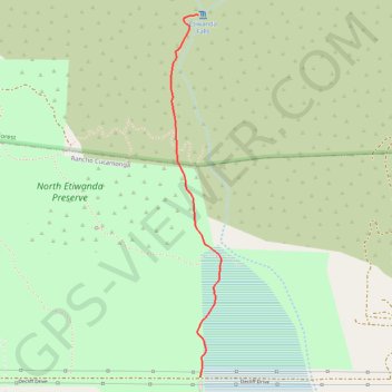
Other GPS tracks

Click on a GPS track to view route, its statistics and profile.

Etiwanda Falls

United States > California > San Bernardino County > Rancho Cucamonga

North Etiwanda Preserve. San Bernardino National Forest. #Hike #Run #Waterfall #Mountain #Forest #Nature #City

Distance: 5.6 Km • Elevation gain: 261 m • Maximum elevation: 870 m